A lake you can read
An independent guide to Lake Como in four languages, where light, time and ferries are drawn on a 3D model of the terrain.
Introduction
Lagodicomo.it is an independent guide to Lake Como, published in Italian, English, German and French. It gathers in one place what a visitor needs to understand the lake and to move around it: the villages and their places, the villas and gardens, the boats and the trains, the paths, the year’s events — and a map drawn for this lake in particular.
It was conceived, written and developed by FIG’s founder. On 17 November 2026 its sitemap listed 3,024 pages: 45 villages, 298 places and 1,433 photographs, each credited to its author, in four languages.
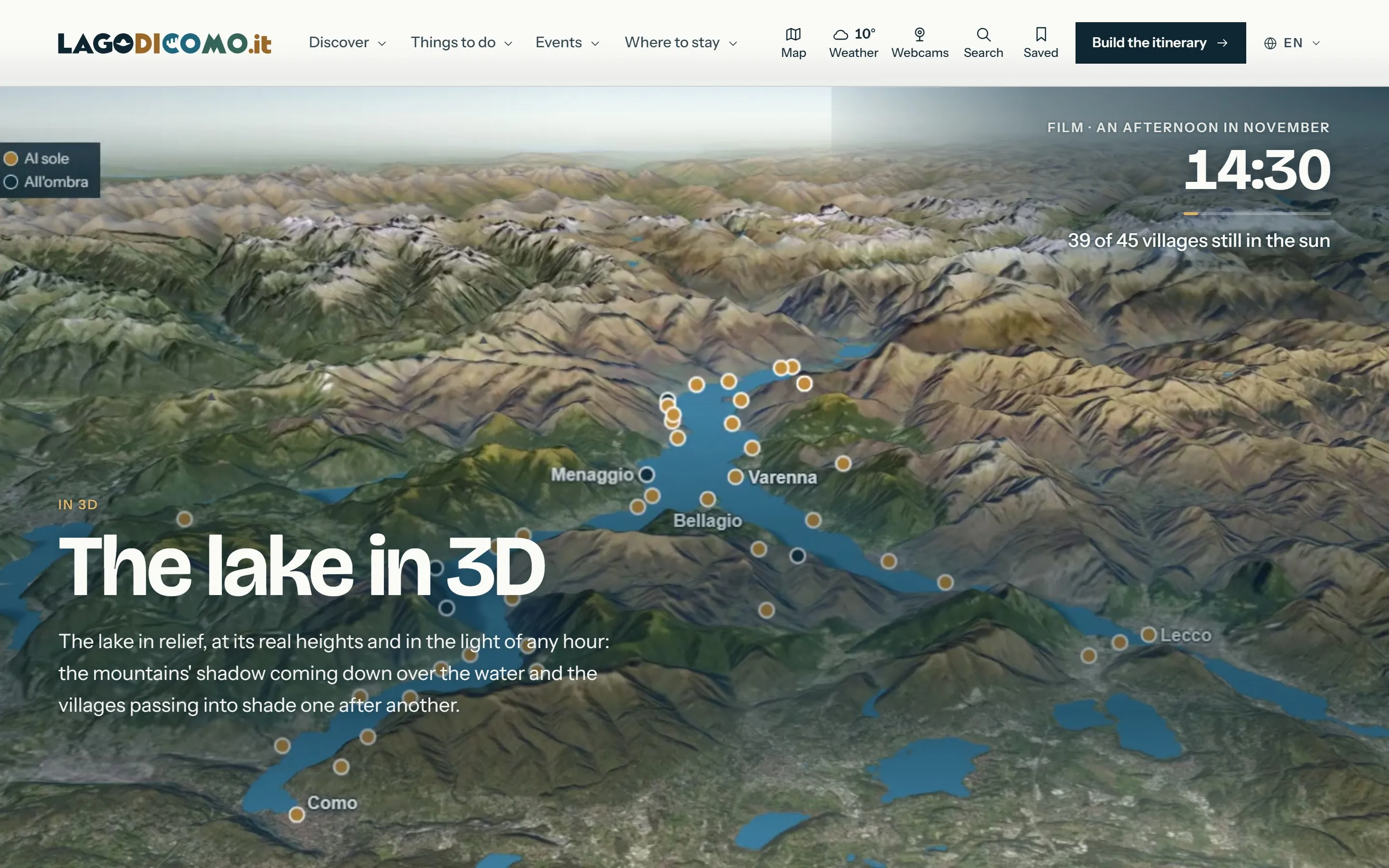
What makes it more than a guide is what it does with time. The lake is drawn on a model of its own terrain, and the model knows what the light is doing — now, at every hour of today, on any day of the year.
The challenge
Lake Como is a narrow lake between steep mountains. Its geography decides almost everything a visitor will do in a day: where the sun is, when it disappears, which shore is reachable by which boat, how long a crossing takes, what is open now.
Most travel sites answer none of this. They list attractions. They cannot say that on a November afternoon the mountains take the sun from one village an hour before the next, or that the last boat back left twenty minutes ago.
The design problem was to make a territory legible as a system — shape, light, time and transport — without turning a holiday into a control panel.
The concept
Start from the shape. The lake is a Y, drawn by a glacier, and the guide begins there: three branches, six areas, forty-five villages. Every page sits somewhere on that shape.
Then add time. Each place carries what changes — opening hours, timetables, events, weather, water levels — read from the operators and institutions that publish them, with the date it was checked.
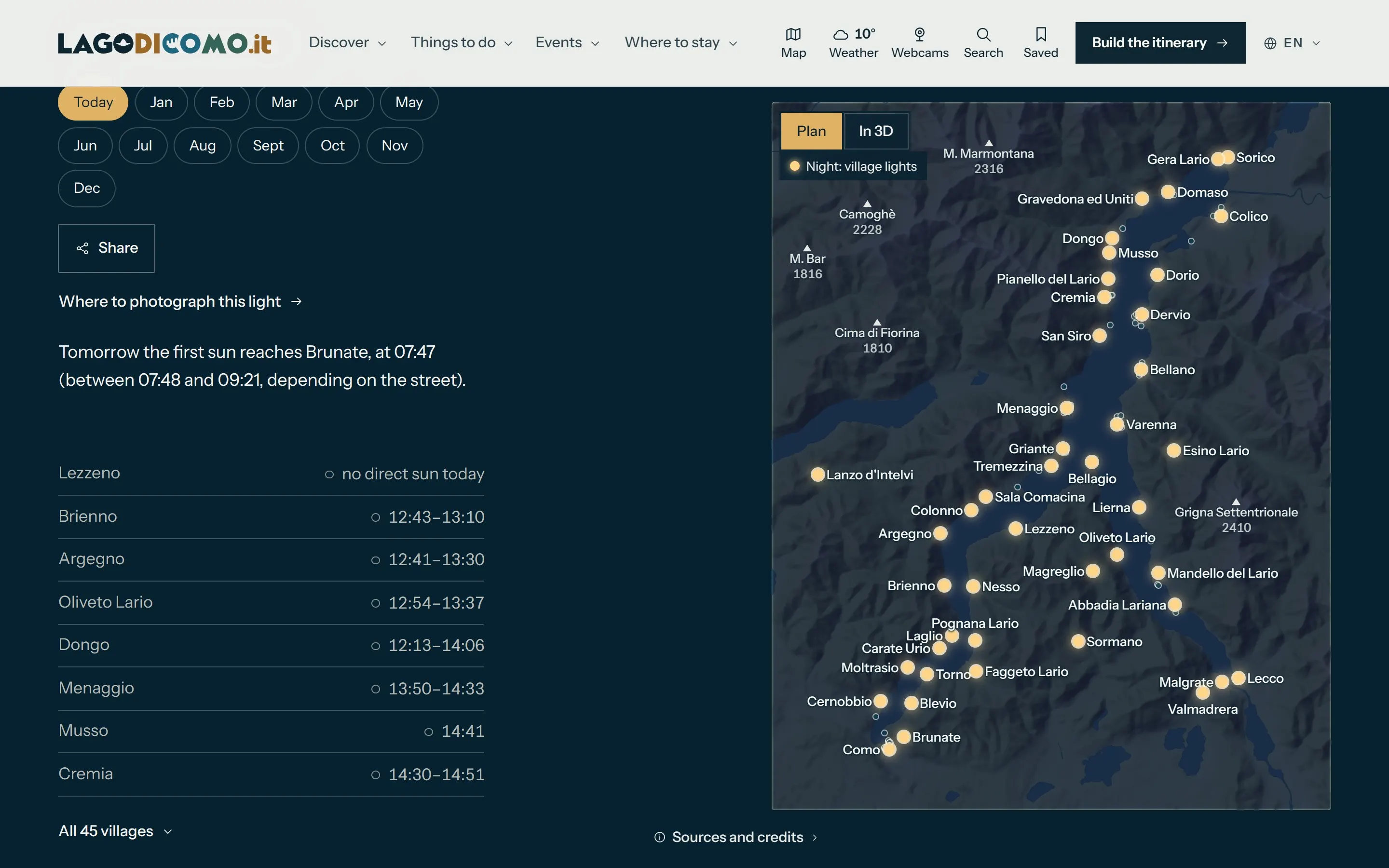
Then add light. The model of the terrain is used to compute what the sun does to each village: when the shadow of the mountains arrives, and how the lake looks at any hour.
The sun disappears behind the mountains before sunset, at a different time in each village.
The design
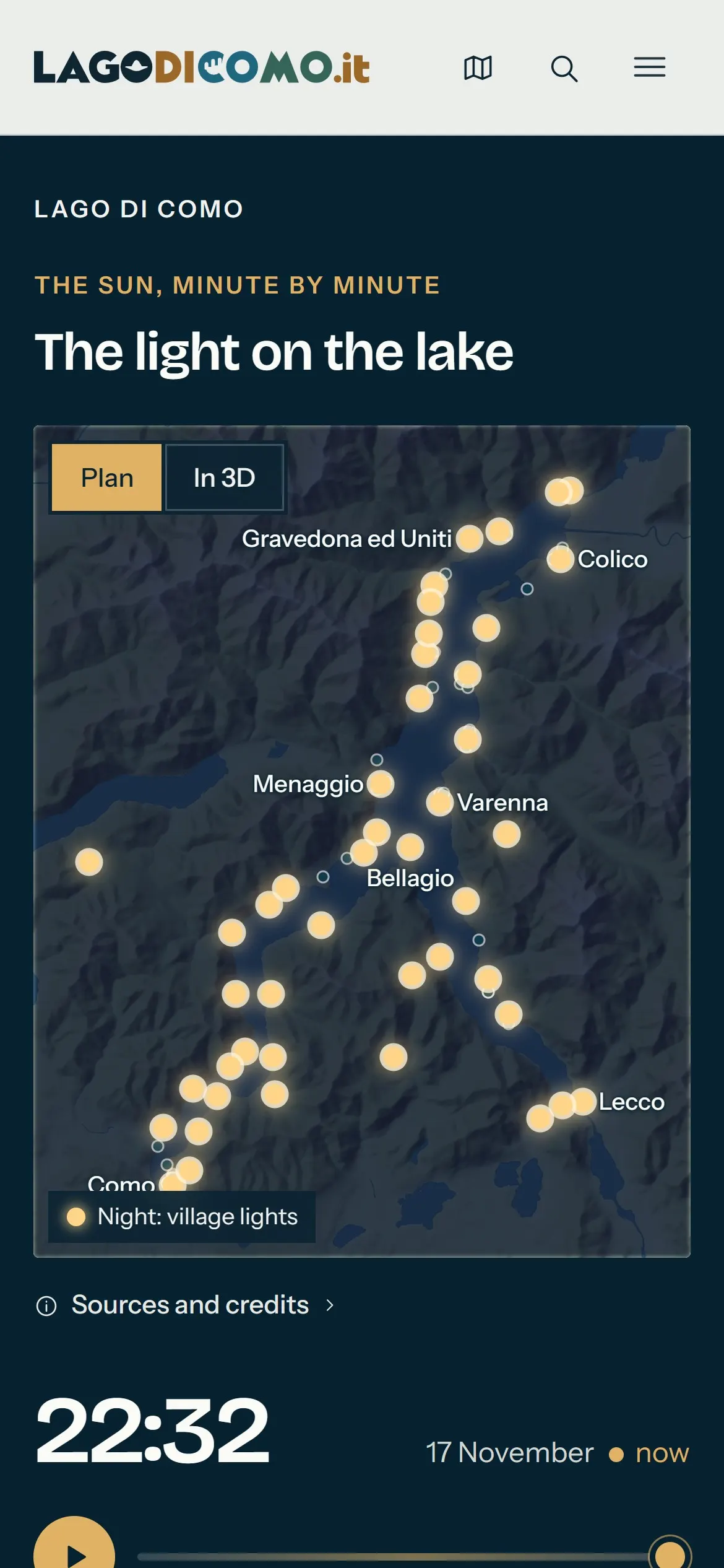
A light map. The light on the lake is a single interactive map. It shows the shadow now, at every hour of today and on the fifteenth of each month, and lists the villages in the order in which they lose the sun. Where a village is long, it gives two times: when the shadow reaches the first houses, and when it covers nearly all of them.
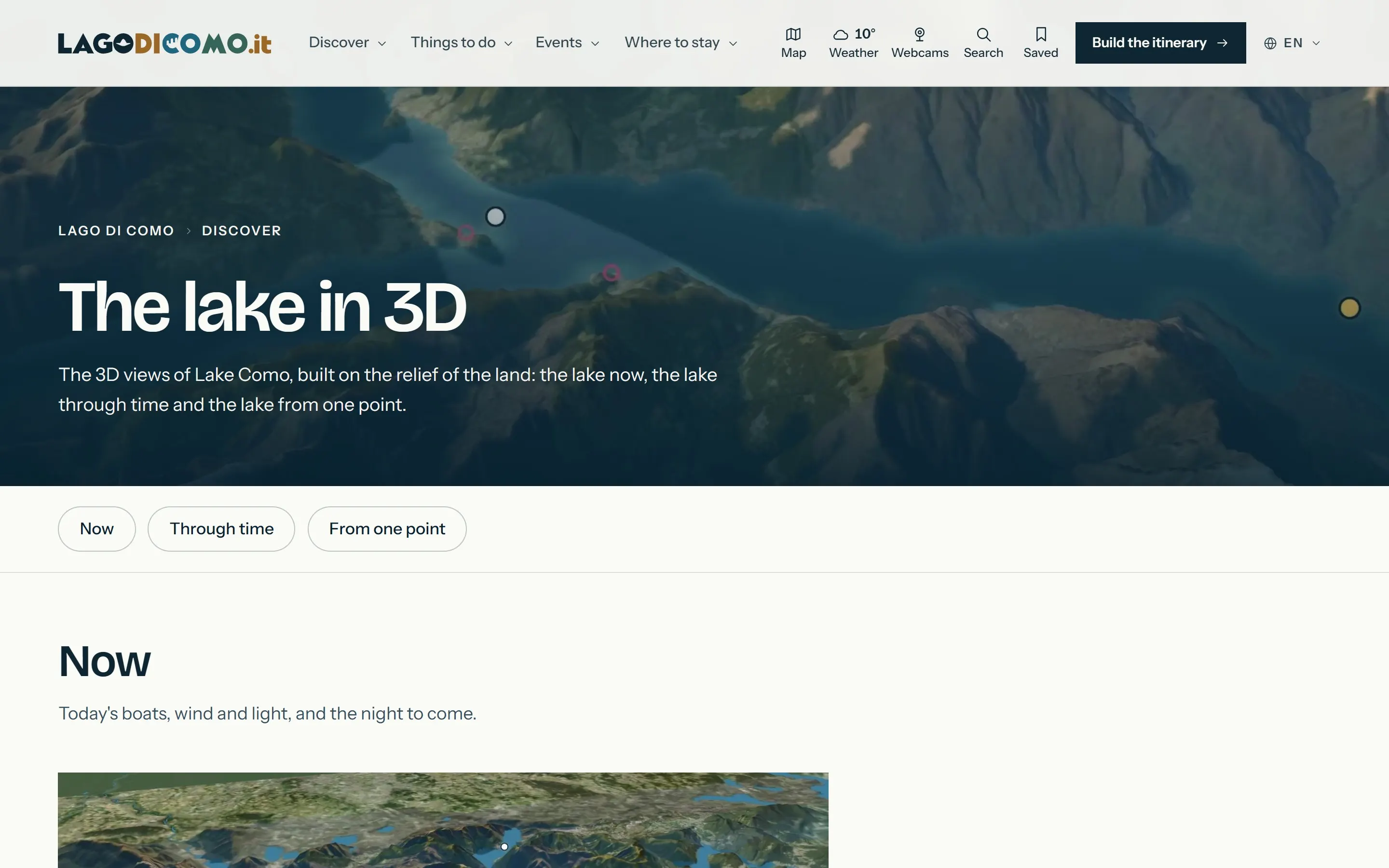
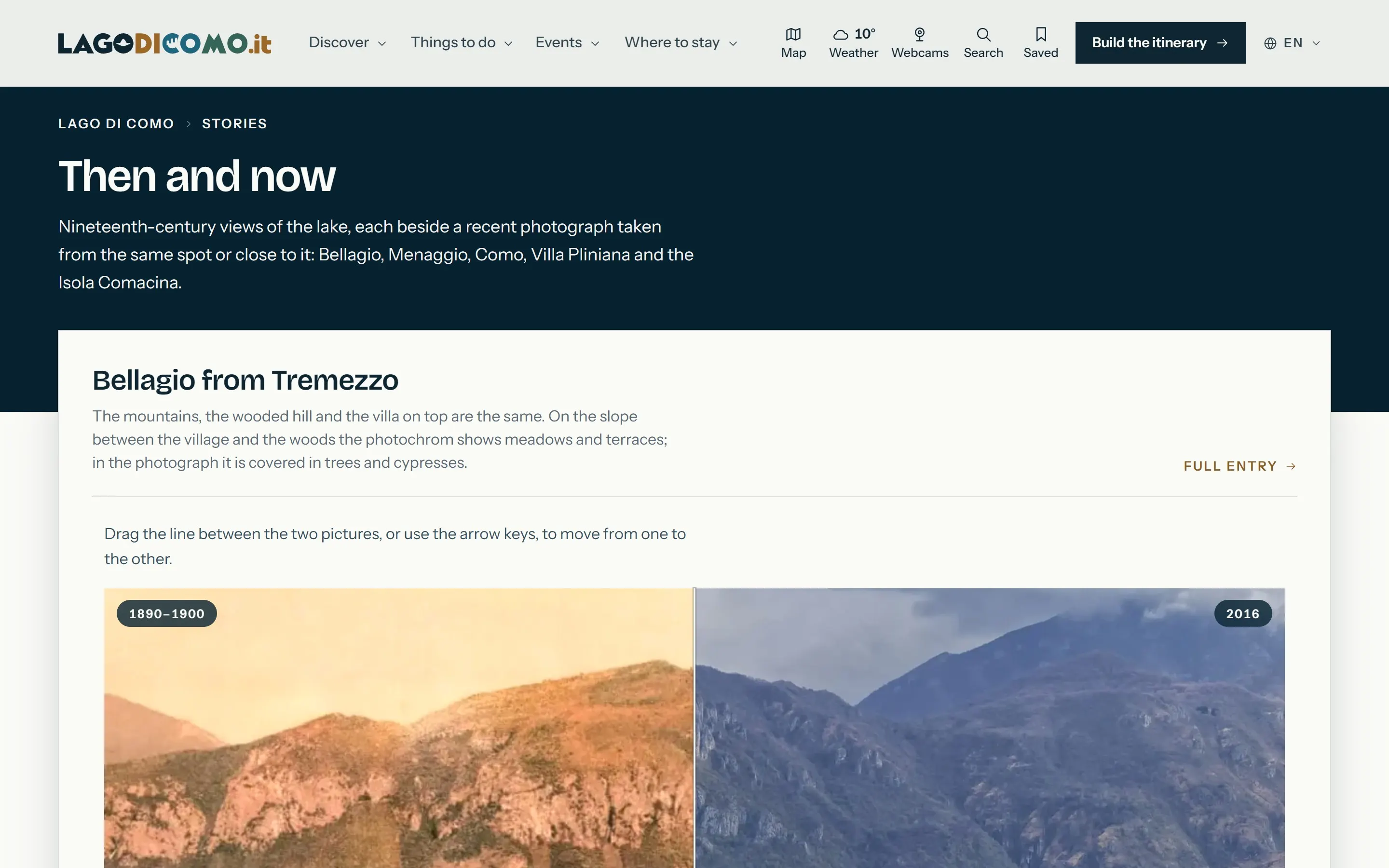
The lake in 3D. The views are built on the relief of the terrain and grouped by what they answer. Now: the boats where the timetable puts them, the wind as measured, the webcams, and the night that is coming. Through time: a day in a minute, from the first boat to the last; a year in a minute, the same hour every day; the lake in 1975 and today, from aerial photographs of twelve villages; and the lake under the glacier, about 24,000 years ago. From one point: the journey from Como to Bellagio seen from behind the boat, the sunset from Menaggio with the mountains at their real height, each village from above.
Places that know their own state. A village page opens with what a visitor needs before anything else — where it is, how long it takes, the best season, what to see, how it is best reached — and then the place, today, things to see, experiences, where to stay, events and the map.
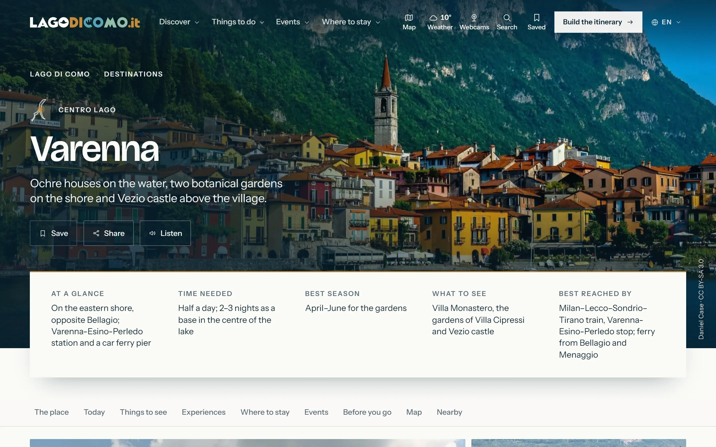
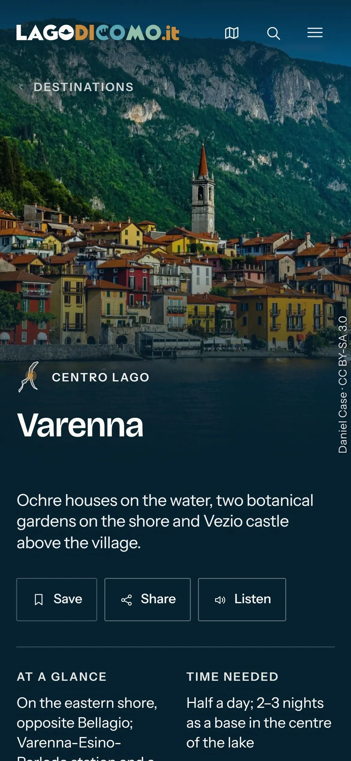
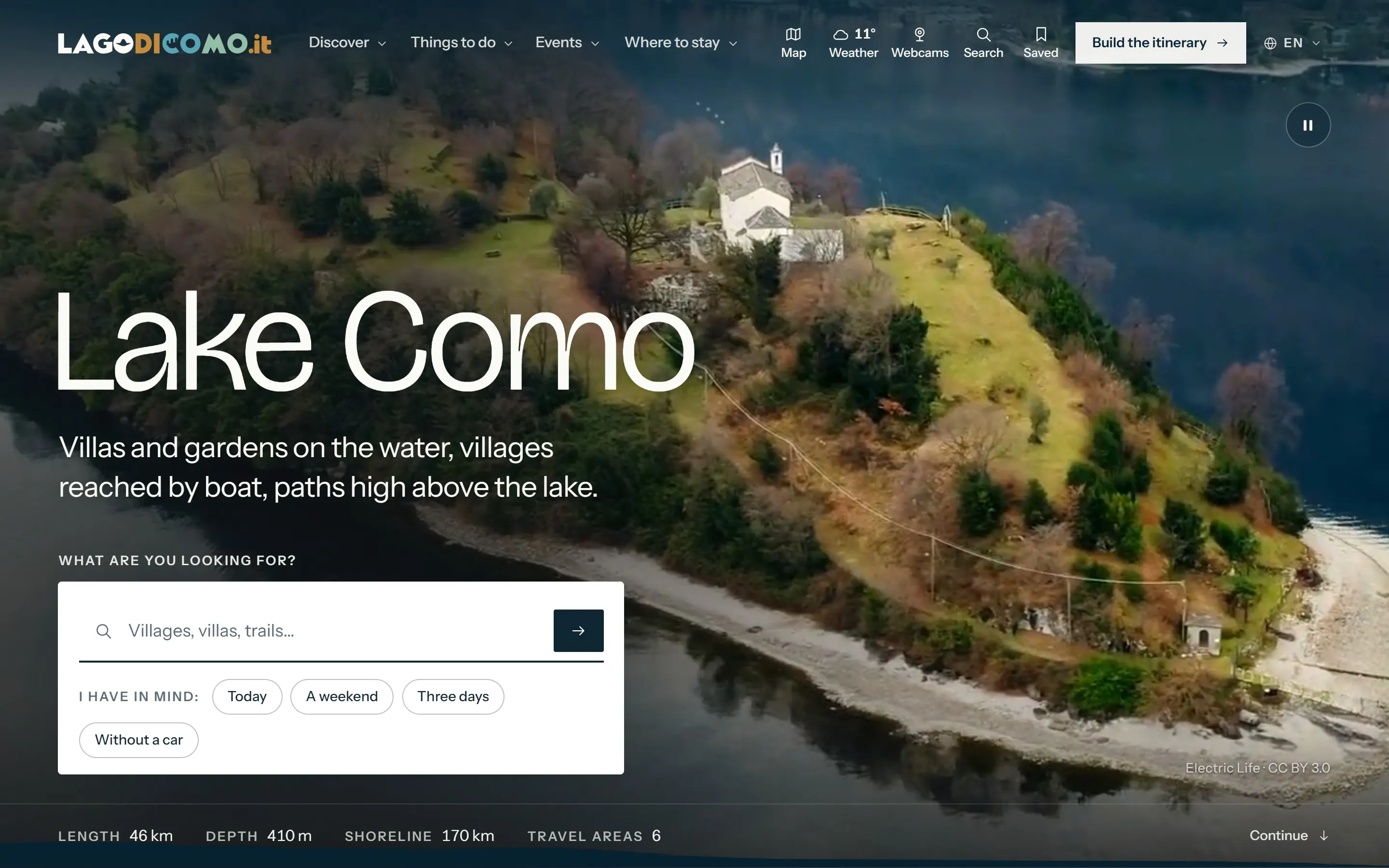
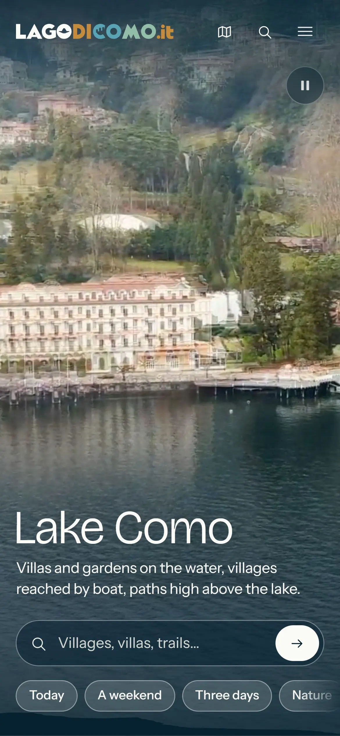
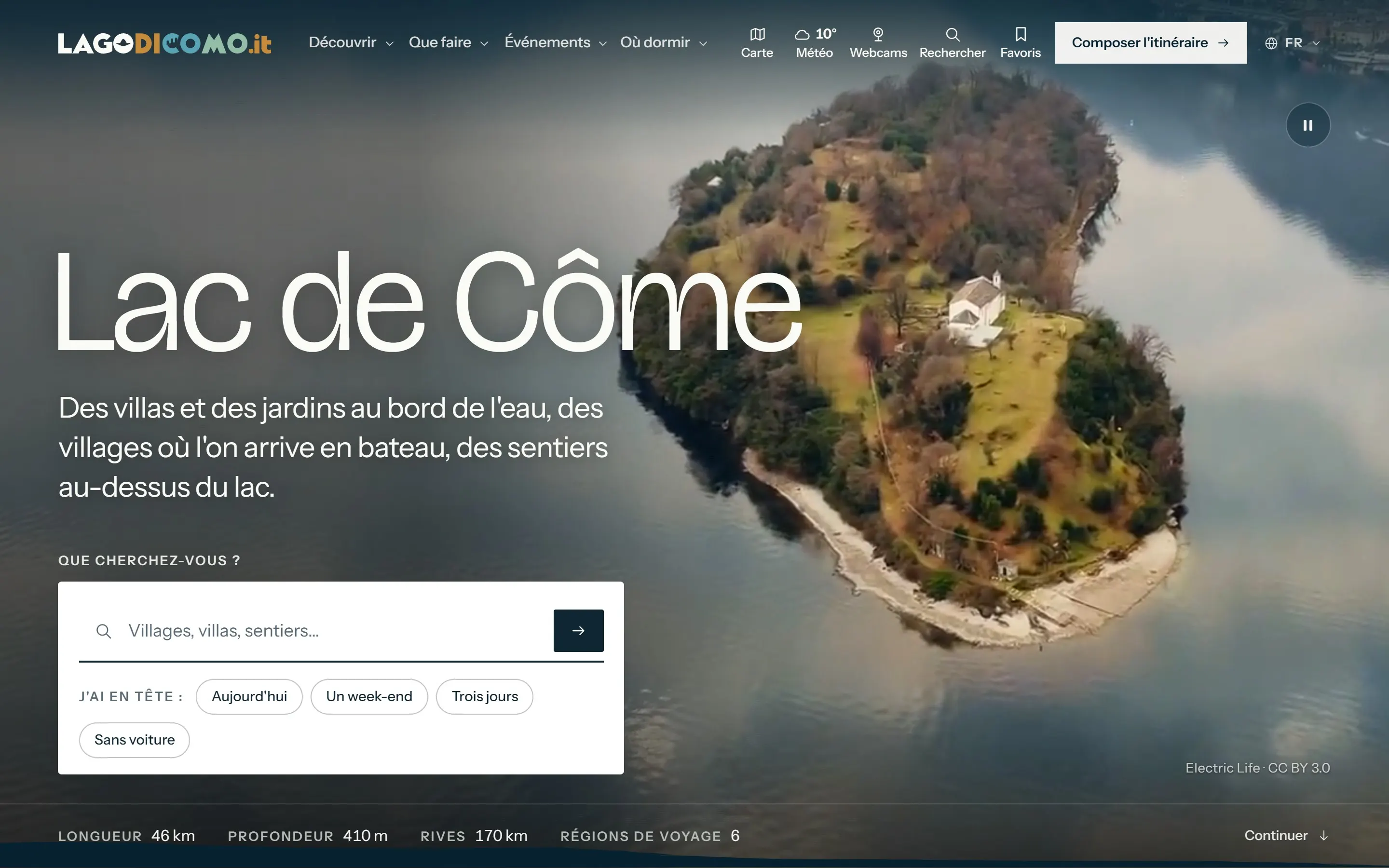
Imagery with names. The 1,433 photographs come from Wikimedia Commons and, for some places, from Flickr — public domain or under CC0, CC BY or CC BY-SA — and each one is credited to its author with its licence. The aerial film on the front page is credited too.
The experience
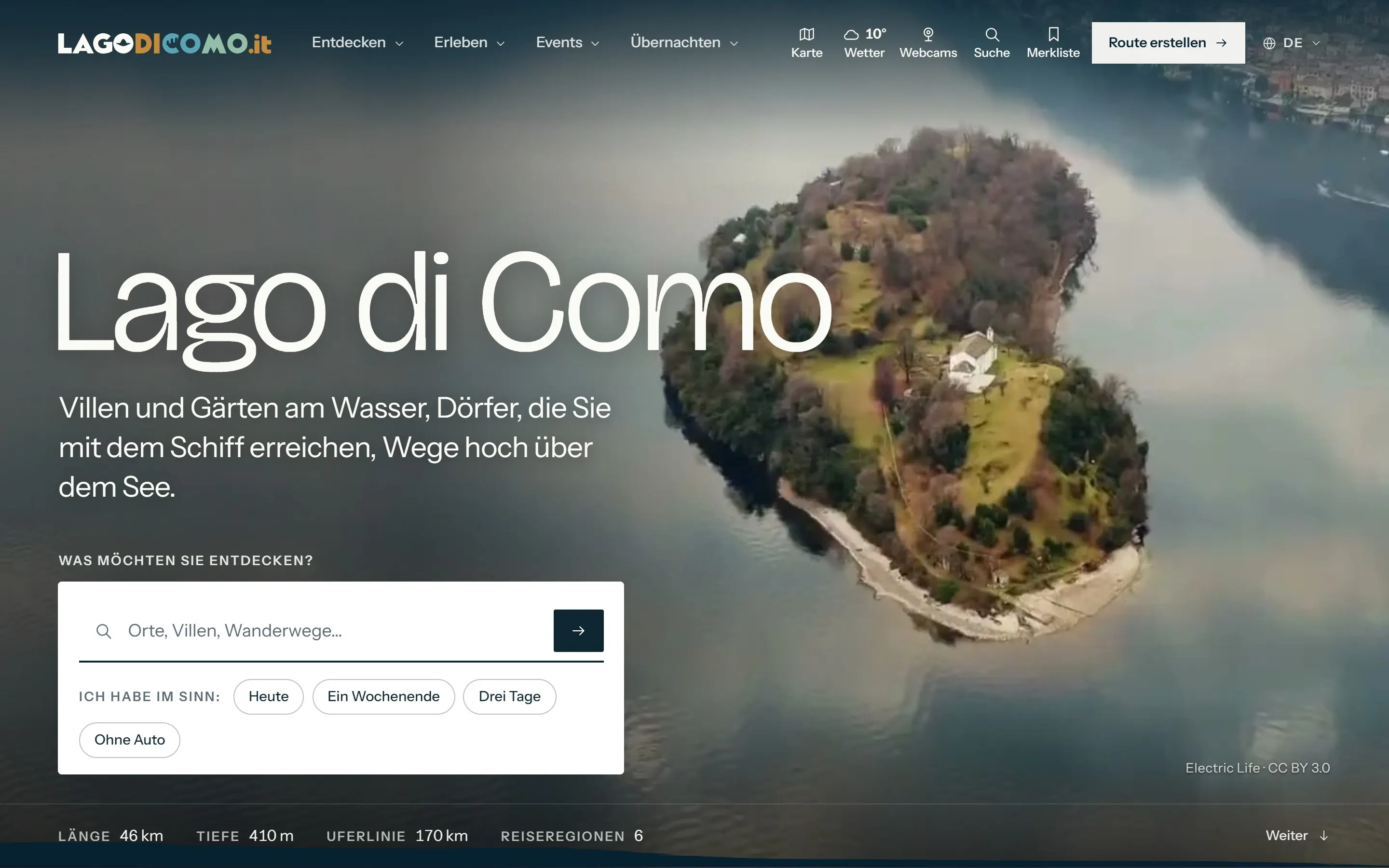
The guide is built for a phone in a hand on a pier. The front page asks one question — what are you looking for? — and offers four answers that cover most trips: today, a weekend, three days, without a car.
Around the map sit the live layers a visit depends on:
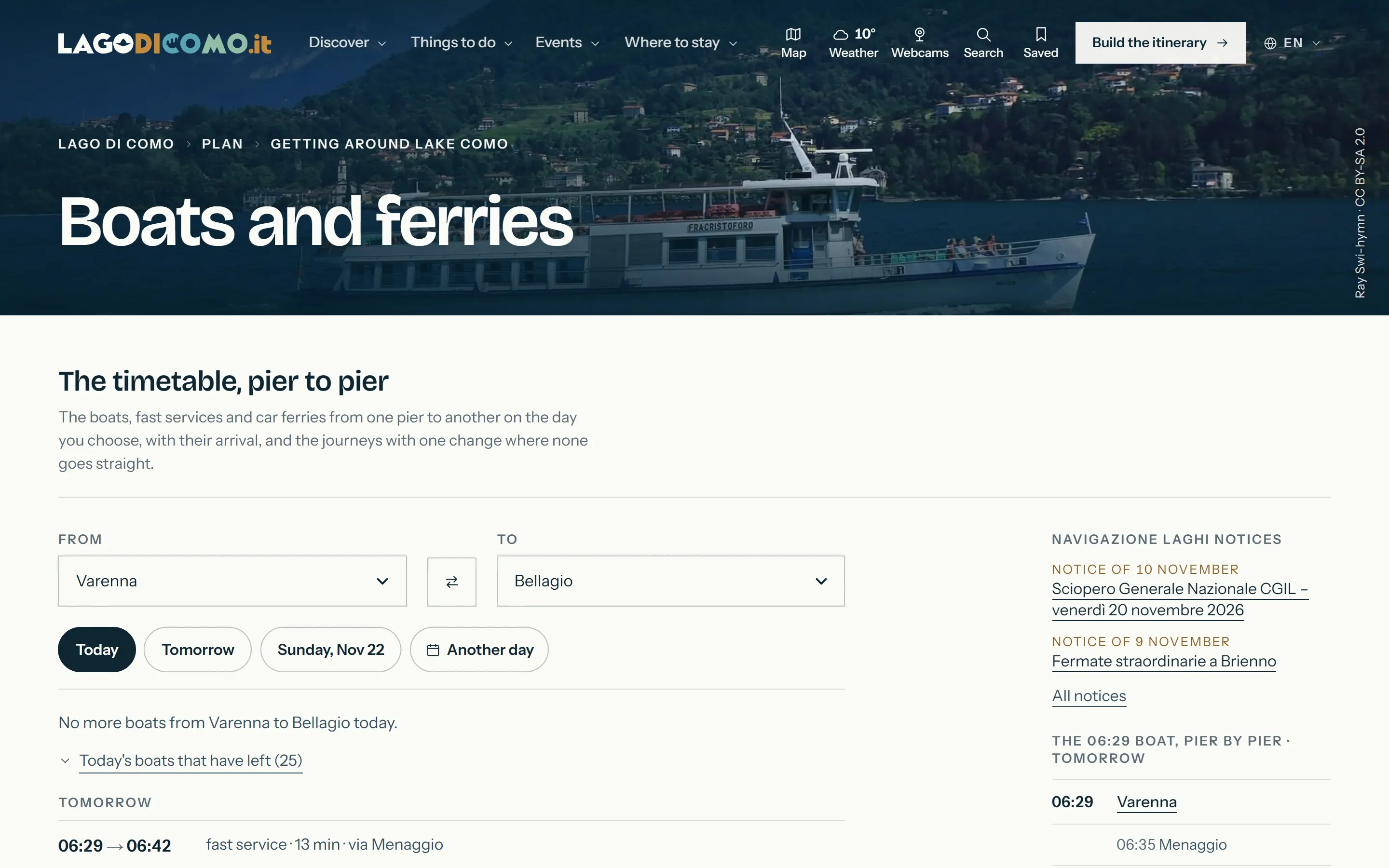
- Boats and ferries, pier to pier: choose where you are and where you are going, see today’s runs, the ones already gone, and the operator’s service notices.
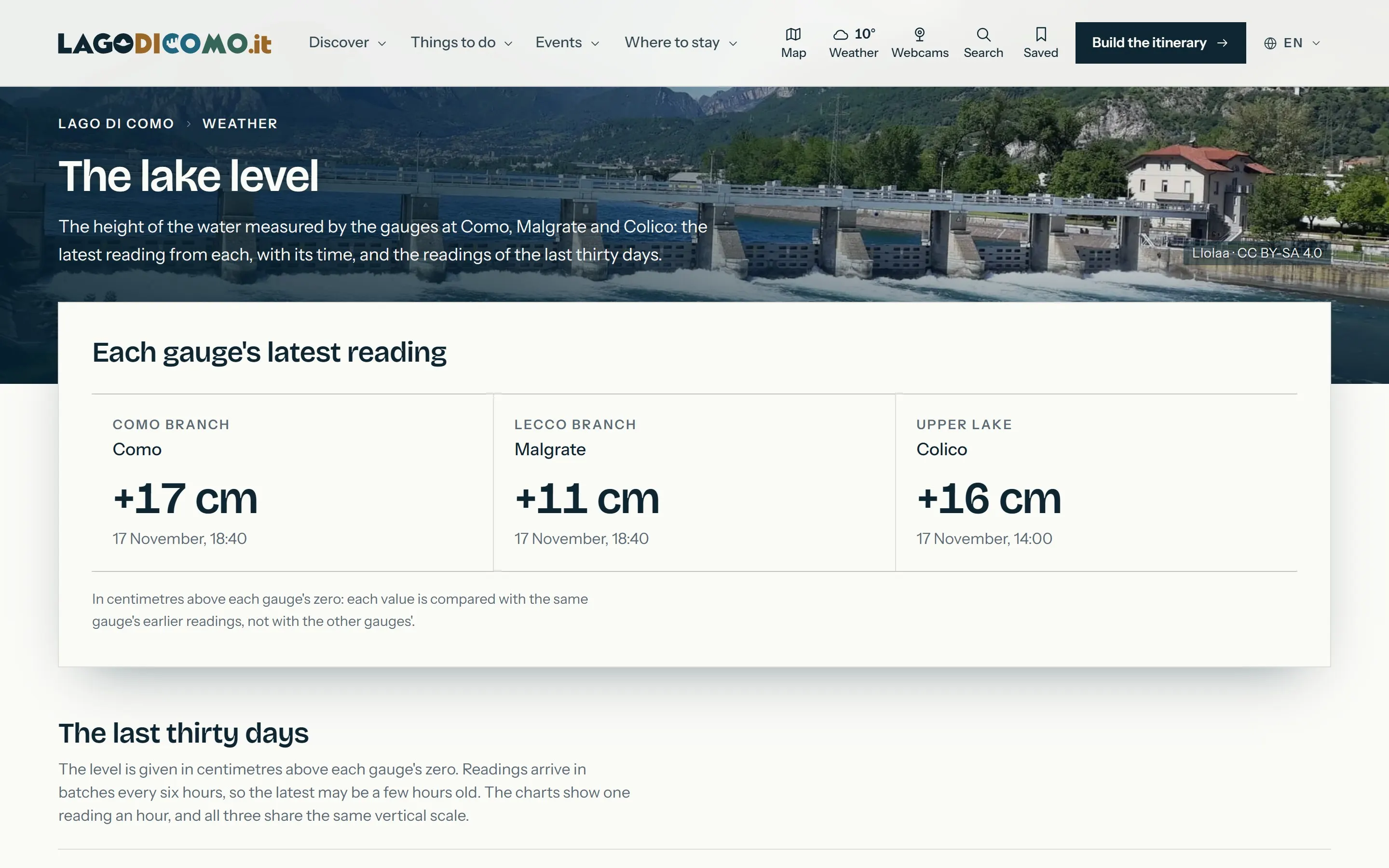
- Weather and water: five-day forecasts for four basins, the wind as forecast and as measured, snow on the mountains, and the lake level from three gauges.
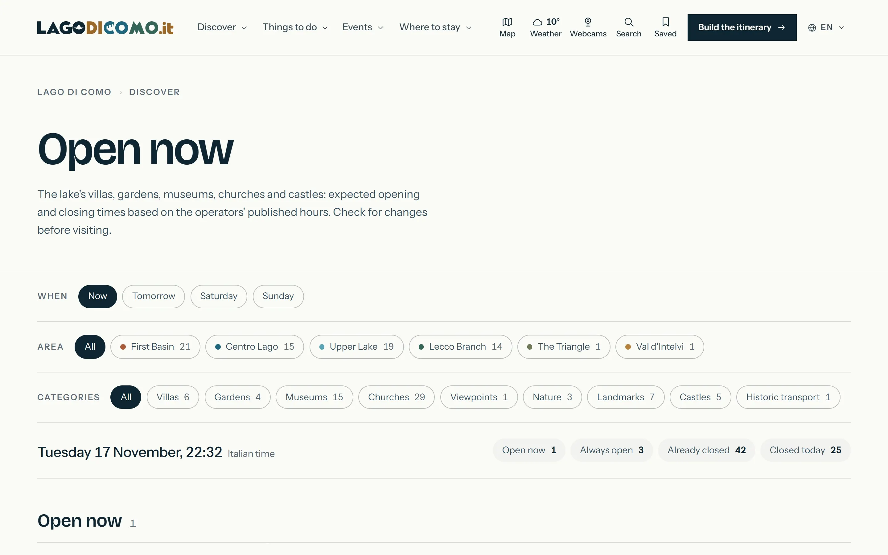
- Open now: villas, gardens, museums and churches, filtered by area and kind, with what is open now and until when.
- The itinerary: a builder that asks how many days you have, where you arrive, what interests you, how you move and at what pace.
Four languages, one lake
Every page exists in Italian, English, German and French, and every page tells search engines so. Section paths are translated — località, destinations, orte, villages — and each page declares its siblings in the other three languages, in the page and in the sitemap.
The system
Behind the pages is a set of sources, named on the About page: the lake’s navigation company for boats and ferries, the regional railway’s open timetable for trains, the provincial bus company, the regional environmental agency for the lake level, the national health ministry’s portal for bathing water, the Norwegian Meteorological Institute for forecasts, a Swiss research institute’s satellite readings for the water temperature, OpenStreetMap for the shoreline and services, and the Lombardy Region’s geoportal for the terrain and the woods that give the light, the shadows and the panoramas their shape.
Every practical fact carries its status, so a reader knows how much to trust it:
- Verified — checked at the official source on the date shown.
- Structural — stable over time, not tied to timetables or prices.
- Indicative date — an annual event whose date has not yet been announced.
- To check at the source — confirm with the operator before going.
The site is built with Next.js and served by Netlify, with its content rendered in the HTML of every page, in four languages.
Outcomes
- 3,024public pages in four languages, sitemap 2026-11-21
- 45villages, each with the hour it loses the sun
- 298places described, with visit information
- 1,433photographs, each credited to its author
- 4languages with translated paths
- 24,000years back, under the glacier, in the 3D views
Read on the live site on 17 November 2026: the sitemap and the About page.
Lagodicomo.it does not publish visitor numbers, and this case study does not claim any.
What it demonstrates is a way of designing for a place: start from the shape of the land, add the time that changes it, and let the light — computed, not photographed — tell the visitor what the day will be like before they spend it.
Explore the project
lagodicomo.it
An independent guide to Lake Como in four languages, where light, time and ferries are drawn on a 3D model of the terrain.
Sources for this case study
- Lagodicomo.it — About (method, sources, images)
- Lagodicomo.it — The lake in 3D
- Lagodicomo.it — The light on the lake
- Lagodicomo.it — The water level of Lake Como
- Lagodicomo.it — Boats and ferries
- Lagodicomo.it — Then and now
- Lagodicomo.it — Imagery and credits
Everything described here can be checked on the live project. Figures were read on 21 Nov 2026; screenshots are captures of the public site.